Joining the Palmy army
Apiti to Palmerston North
76.2km
Today dawned clear, cool and dewy damp. Another scorching day in store? With 77km ahead.of us, we aimed for an early start and hit the road just before 8. But not before a look around Jemma & Alex's lovingly restored (deconsecrated) church, and a final photo in the low morning sun.
We got a gentle warm-up, with an easy, 2km climb up from Apiti, before a quick drop into the top of Burtons Stream valley, a more gradual descent past Makoura Lodge and finally a rapid, flowing downhill to the Makiekie Creek. All on deserted, smooth seal. What way to start the day.
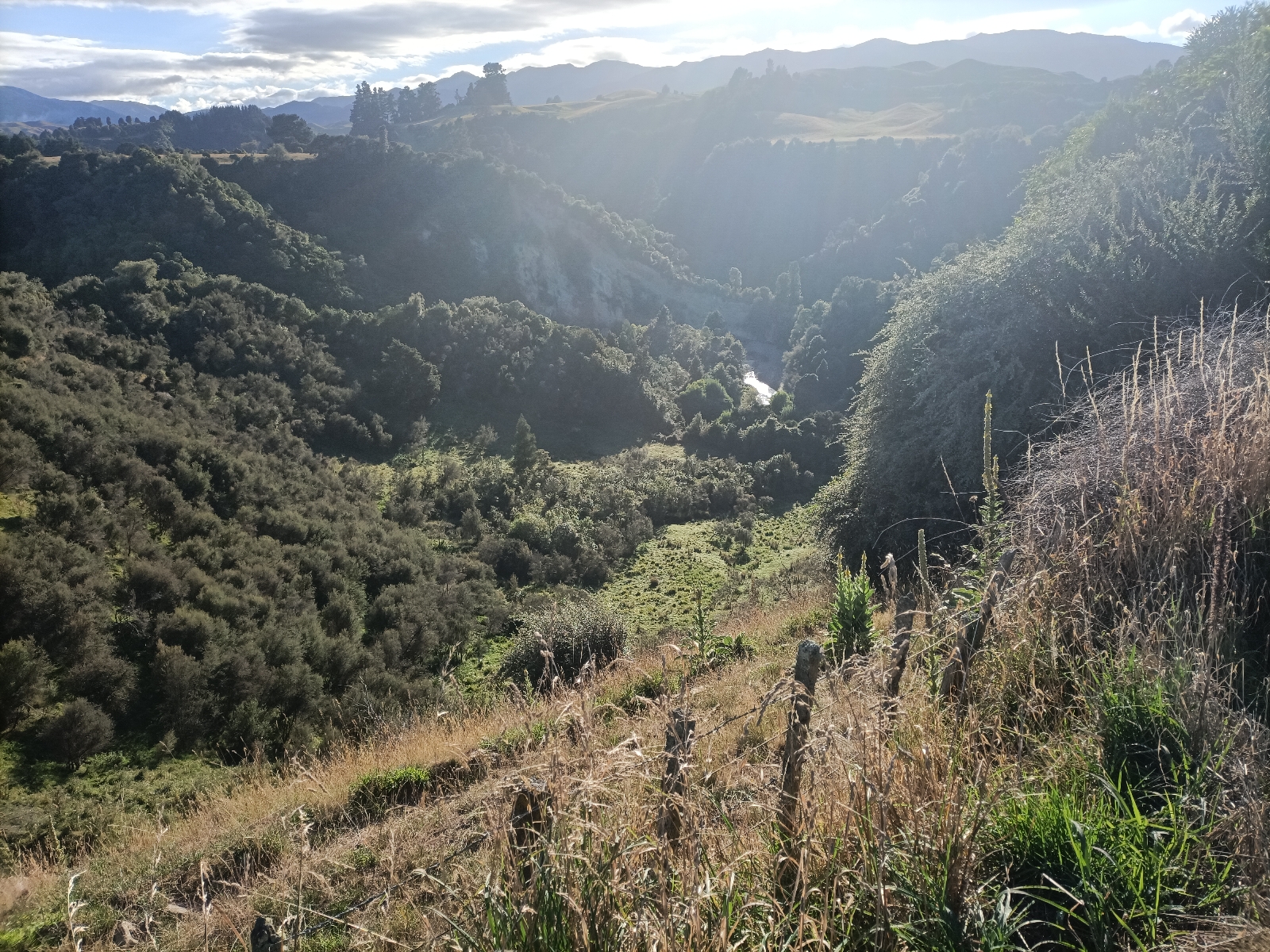
Across the bridge, the gravel starts, uphill of course, but less steep than the descent. I think I've commented before how much more effort is required to ride on even good gravel compared with seal, and this is pretty good gravel. It's a steady, slow, assisted climb up the side valley toward the sunlit uplands ahead. As we crested the final brow the vista all around is simply stunning. Back across to Makoura Lodge (which we are now higher than, surprisingly) or ahead up the now-broad and gently sloping valley, we are in big sky, high, sheep country. This is confirmed by the approach of a quad bike carrying two blokes and a sheepdog. At the Pohangina Road junction a woman came out of the farm opposite with two boisterous dogs running around her. We commented that we were back to climbing on gravel, but she assured us that it was not as bad as what we'd already come up. With that she was away on her quad, in the same direction as the two men, pausing only at the start of the gravel road to load up the two dogs for a ride. We speculated that the dogs or their owners preferred not to run on gravel, risking damaging their feet.
We quickly climbed to the ridgeline between the Makiekie Creek and the Pohangina valley, and then dropped down to hug its Eastern side, high above the valley floor. This was my second visit to this rural backwater, as we'd come up here with several of Marg's cousins on a family reunion back in 2019. Her great grandfather had originally settled here, and two of her great uncles had farms in the valley, albeit on the Eastern side, and we were now following its true right bank. In fact, one of her second (or maybe third: such detail is a European construct and maybe we should just call him cuz) cousins, although living in Dunedin, still owns and works a forest block on this side: when we later heard the unmistakeable buzz of a big chainsaw we joked about the possibility of randomly bumping into him.
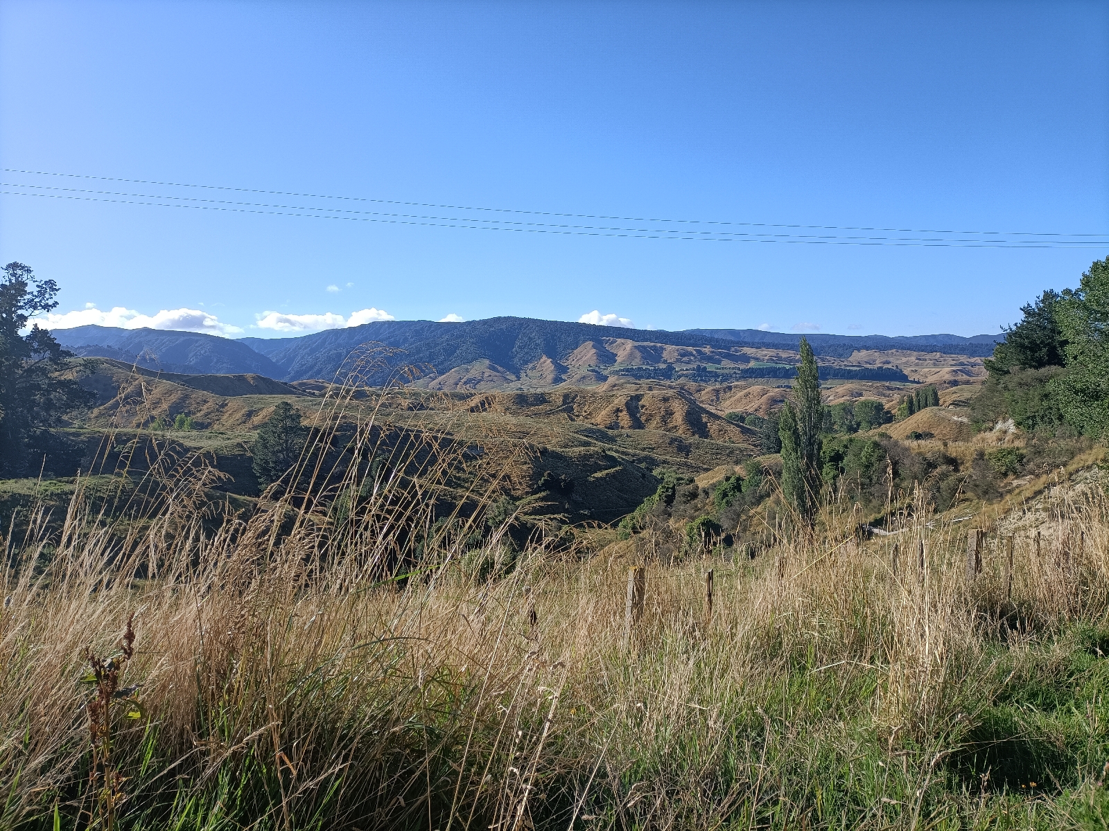
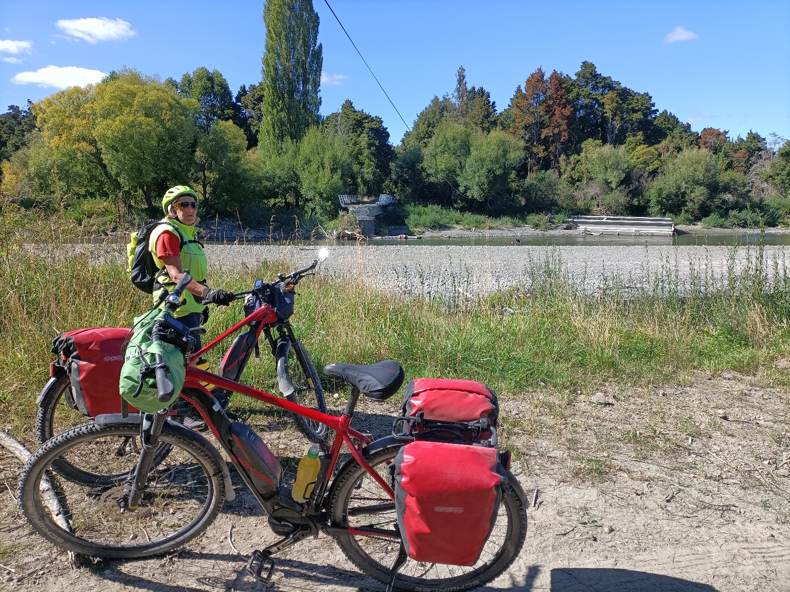
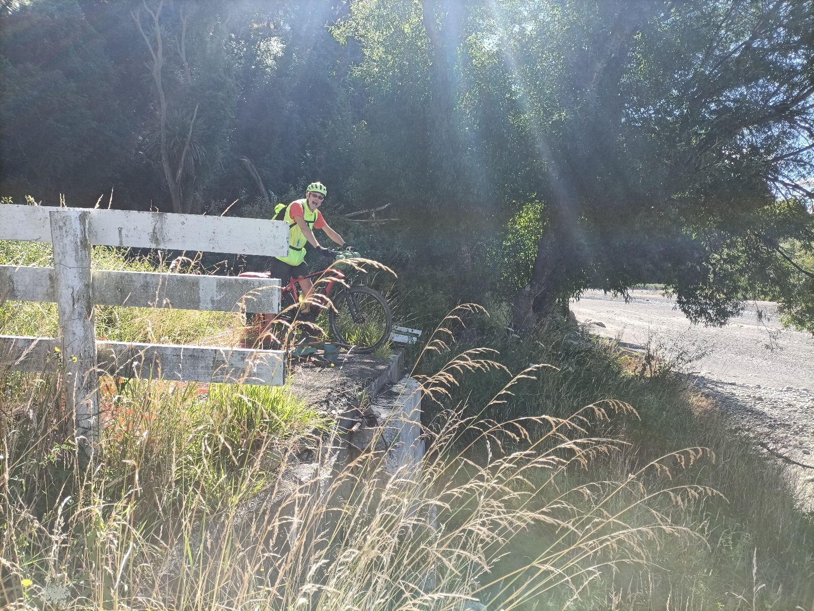
We eventually dropped steeply down to the valley floor, and at a side stream crossing on one of the ubiquitous one-lane bridges, the gravel abruptly stopped and we were back on seal. This took us to Churchill Road, and the washed-out bridge to the left bank and Totara Park. We got as close as we could and grabbed the requisite alternative control point photo. Back on Pohangina Road, we first climbed a spur and crossed a large tributary on a Bailey bridge, then continued to descend the valley. Just as randomly the seal ended and we were back to gravel, although not as recently graded nor well used. It's apparent that many West-side residents used the Totara Park bridge as their main access, and now they are faced with a longer drive, on gravel roads, to access their property from North or South.
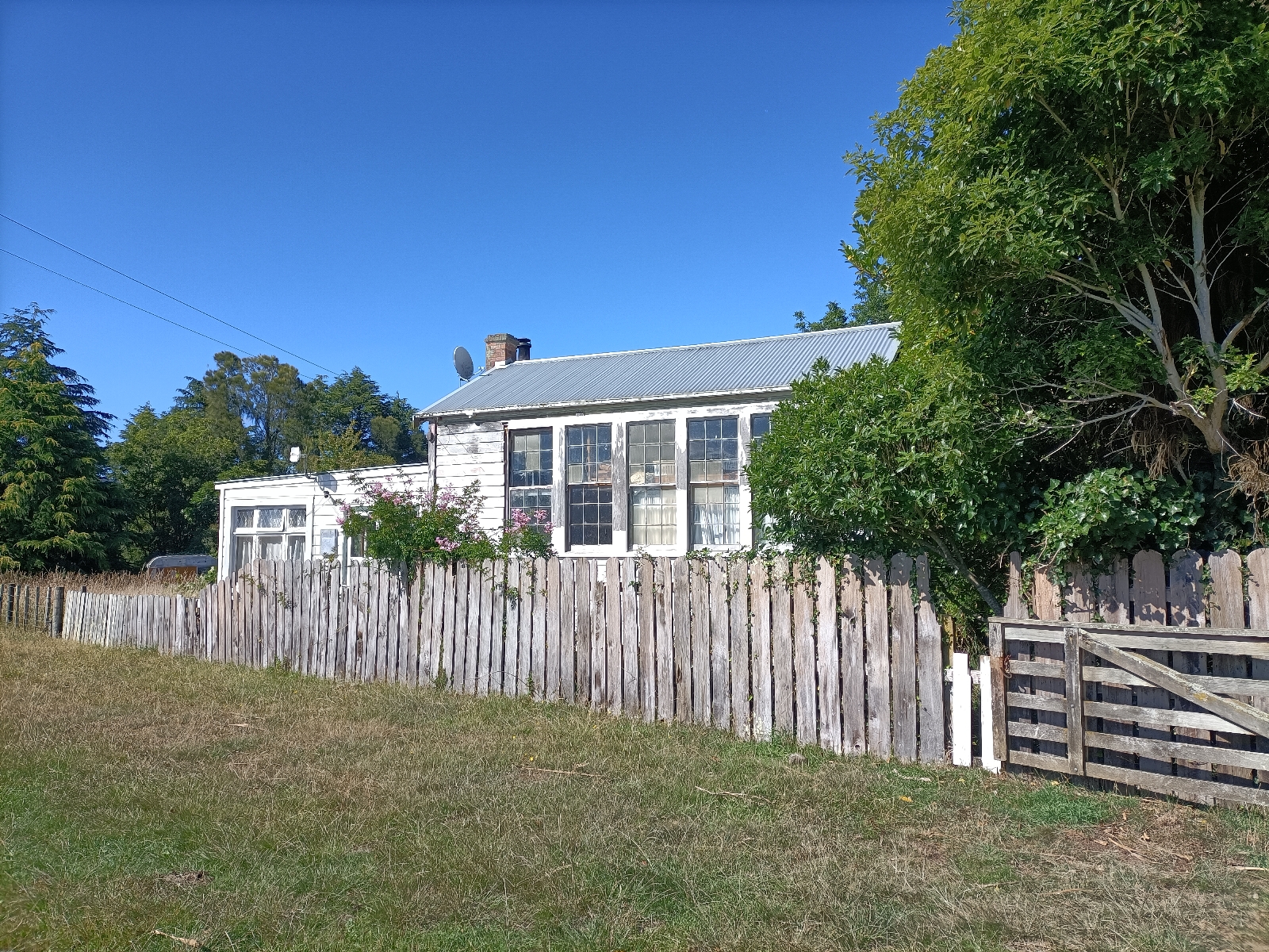
Eventually we approached the namesake village, though first passing a near-derelict school building apparently being used as a store, although with someone in residence in the run down lean-to at the rear. In Pohangina itself the near identical school building has been preserved as a community asset.
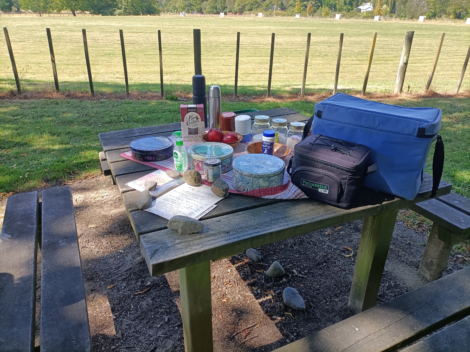
We stopped for morning tea in Pohangina, provided by the renowned (among TA-ers at least) trail angel, Mary. Tea bags and instant coffee, flasks of hot water, fresh milk, cold drinks and choc bars in chilly bags, fresh muffins and cookies in tins, all laid out on the picnic table under trees in the village domain next to the cricket ground. An honesty box for payment, bank details for those without the right cash, all going to help fund local track maintenance. Mary is truly a TA/Te Araroa legend...
Before the village the road switched back to seal, and unsurprisingly remained so all the way to Ashurst. Beyond Raumati it became busier, as traffic from the Eastern valley crossed the river and converged. This is part of the Manawatu Scenic Drive tourist route. In Ashurst we purchased two pies to supplement our lunch, which we planned to take in the Ashurst domain, which is used to bypass a busy SH3 junction. Now, everyone knows NZ is small, and coincidental encounters are commonplace, but I think our next experience takes the bisvuit... Perusing the the information board for the Manawatu Scenic Drive were a couple visiting from California, who we'd first met at the unusual 'tunnel culvert' on the Whanganui River Road. By coincidence, we bumped into them loading up their car at Braemar House in Whanganui, after they'd also spent a night there. They were heading to visit friends in Pukerua Bay, and we gave them some tourist tips on the Wellington region, particularly about 'active' opportunities as both are keen cyclists. And here they were again, four days later, having arrived back in Ashurst via Upper Hutt (no rafting, sadly) and the Wairarapa. We passed on our new-found knowledge about Rangiwahia, and this time we exchanged contact information.
From Ashurst the route follows the Manawatu River Pathway as far as it can, before reverting, via a link road used almost exclusively by heavy trucks hauling gravel from the river, to the shoulder of the busy SH3. Ironically, there is a lovely, sealed road running the length of this 'missing link' in the river trail. But it is private property belonging to Hirock Higgins, one of the gravel extractors. Now, wouldn't you think it an excellent PR opportunity to open up this route to the public?
When examining the weather each day, I have been rejoicing in anything with North or West in the wind direction. My celebrations this morning were ill-informed as I rarely look at the map of the route. I was bemoaning the presence of a strong headwind as we strove to reach Palmerston North, complaining about the poor forecasting, when SWAMBO pointed out that we were actually heading predominantly West at this point and I should look at the map then shut up and push the pedals!
On arrival in Palmy we made a small tactical error in riding under Fitzherbert Bridge, to emerge via the Victoria Gardens (and its kiddies' traffic-training miniature road layout) exactly opposite our motel, meaning running the gauntlet of 4 lanes of frantic rush-hour traffic. I write extensively about the Esplanade Motel in tomorrow's blog, so I'll say no more now.


Comments
Post a Comment